Radar
| Radar |
|
Recipe |
|||||||||||||||||||||||||
| +++ → | |||||||||||||||||||||||||
|
Total raw |
|||||||||||||||||||||||||
| ++ | |||||||||||||||||||||||||
|
Map color |
|||||||||||||||||||||||||
|
Health |
|
||||||||||||||||||||||||
|
Resistances |
Fire: 0/70% |
||||||||||||||||||||||||
|
Stack size |
50 |
||||||||||||||||||||||||
|
50 |
|||||||||||||||||||||||||
|
Radar coverage distance |
Continuous:
Exploration:
|
||||||||||||||||||||||||
|
Dimensions |
3×3 |
||||||||||||||||||||||||
|
Energy consumption |
300.0 kW (electric) |
||||||||||||||||||||||||
|
Mining time |
0.1 |
||||||||||||||||||||||||
|
Prototype type |
|||||||||||||||||||||||||
|
Internal name |
radar |
||||||||||||||||||||||||
|
Required technologies |
|||||||||||||||||||||||||
|
Produced by |
|||||||||||||||||||||||||
|
Consumed by |
|||||||||||||||||||||||||
Object description
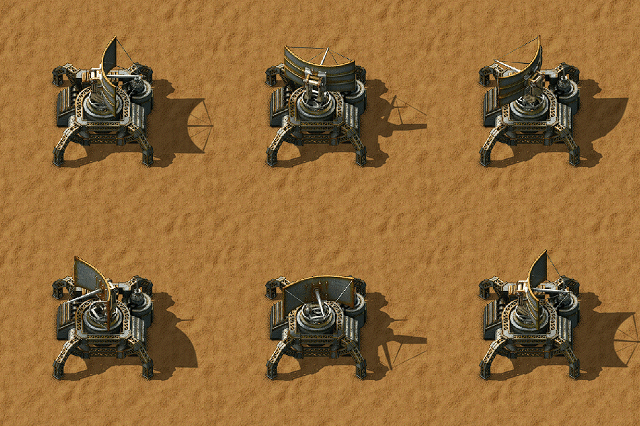
The radar reveals the map for the force it belongs to.
It can be used to provide a small area of remote vision on the map; it also allows periodic scanning of distant chunks around it. The radar has a high power demand (300kW) so a radar indirectly contributes to pollution when powered by boilers and steam engines. A radar can be continuously powered by eight solar panels and six accumulators. Seven solar panels and five accumulators is the most efficient; it gives the radar full power all but a short time in the morning, but never dips below the 20% power threshold for nearby scanning.
Despite being categorized as a military building, the radar will not be attacked by enemies unless it blocks their path to another target, which means that radars can be safely placed in biter-infested areas without needing to be defended. The radar will show enemy lifeforms and structures, as well as trains, cars, and other players in the scanned area.
Nearby pulse scanning
The radar continuously charts an area of 7×7 chunks (224×224 tiles), centered on the chunk the radar occupies. This nearby area is updated as a single pulse approximately every second. At reduced power levels, this nearby pulse scan will take longer, which can lead to 'blinking' on the player's map similar to the long range scan. This is particularly noticeable at dawn and dusk on solar powered radar stations.
At 20% power the radar will pulse about every 4 seconds which will still keep the nearby area continuously lit on the map, but will provide reduced detail. 20% power can be achieved by a single solar panel, or by using one isolating accumulator for every 5 radars.
The roboport also charts a 5×5 area.
Remote control
Tanks and spidertrons cannot be entered when out of radar range, but can still be controlled and exited.
Long range survey scanning
The radar charts one distant chunk every time the sector scanning progress bar fills. This will take 33.333 seconds, if the radar is receiving full power. Mouse-over or click-open the radar details to see this progress bar. Long range scanning is visible on the map as a single chunk lighting up for several seconds, then slowly darkening.
- It scans the unexplored chunks first, represented by the black areas on the map. Note that it also generates the chunks if they weren't generated at the time of the scan.
- One chunk scan takes 10 MJ of energy to complete. Since the radar draws 300 kW of power, it takes 10 MJ ÷ 300 kW = 33.333 seconds to scan one chunk.
- This is done in an area of 29×29 chunks around the radar, excluding the nearby 7×7 chunks.
- With a total number of 792 chunks (29×29 − 7×7), it takes one radar 7 hours 20 minutes to complete one full scan cycle.
- If everything is already explored it continues to scan by re-scanning the longest-ago scanned chunk within range.
- Multiple radars will share long-range chunks, reducing the amount of time it takes to complete long-range survey scanning.
- This is a smart process, meaning that the radars will not scan chunks currently being scanned by other radars.
It is possible that a new alien nest will appear in a previously scanned chunk; just because you don't see it on the map, doesn't mean it is not there.
Coverage
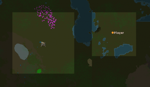
Radars grant sight of a square area around them, which is displayed brighter than the rest of the map. This allows the player to zoom into the normal world view from the map and makes interaction with blueprints and deconstruction planners possible.

Circuit network
Every radar has a circuit network connection to every other radar on that surface. Any circuit signal sent into a radar is output from every other radar on the surface. When the radar loses power, it loses its circuit connection. The output signal can only be seen in connected objects like electric poles, because the radar does not have a GUI.
Charting
If a chunk is scanned by a radar or player, the image of that chunk that is copied into the map of the players of this surface force (every force has its own map).
This procedure is called "charting".

Charting process
If the contents of a chunk changes between two ticks, the content of that chunk is "charted" into the map. The map is just a bitmap, a picture. You can see the entities moving, you can see enemies walking. Every entity is represented by one or more pixels. Not every entity is drawn. Users can recognize what is drawn because of the color.
Charting of several chunks that change each tick might have an impact on game performance, manifesting in the form of lowered UPS or FPS.
Charting decay time / fog of war
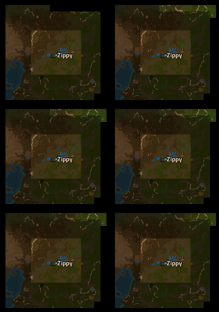
Once a scan for a chunk is triggered, it keeps actively charted for 10 seconds. This effect can also be seen in the map of the chunk highlighted and dims within 10 seconds to a greyed out version of the chunk.
If charting is not repeated within the 10 seconds, the charting process stops for this chunk after 10 seconds and is no longer updated. What you see after that time is the last charted picture for that chunk (also called "fog of war").
Charting of vehicles
Even in the fog of war you can see the last charted position of vehicles. Trains last positions are not charted, because they normally move after the charting stops.
Vehicles are shown as a circle, with an arrow pointing in the direction that they're facing.
Invisible (black) parts of the map
The map generator creates a "border" of invisible chunks around each chunk, that becomes active at some time. Active chunks are those that become charted or those that are active because the pollution spreads onto them.
History
- 2.0.7:
- All radars on a surface are now connected to a single circuit network.
- Enemies no longer actively target radars.
- 0.17.0:
- When holding radar in cursor, area covered by existing radars is also highlighted on minimap.
- 0.15.0:
- Radar now allows remote view via map.
- 0.12.17:
- Updated icons.
- 0.11.11:
- Radar ignores chunks outside the map radius.
- 0.10.0:
- New graphics.
- 0.9.0:
- Halved radar electricity consumption.
- 0.7.3:
- Radar continues refreshing chunks after all chunks in range have been discovered.
- 0.5.1:
- New Graphics
- 0.1.0:
- Introduced
